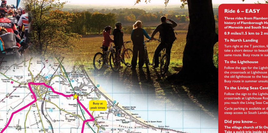
New cycle map available for Bridlington

The cyclists of East Yorkshire have six new cycle routes to explore and enjoy, starting from several different locations: the quaint picturesque villages of Sewerby, Burton Agnes and Flamborough, or the lively seaside town of Bridlington.
A free new cycle map has been developed by East Riding of Yorkshire Council, with routes included for all kinds of abilities, from novice riders to riders who would prefer a more demanding route.
Many of the routes have been carefully planned so riders can enjoy the magnificent countryside and local attractions, such as Flamborough Head, Burton Agnes Hall and Sewerby Hall and a lot go along promenades, cycle paths and quiet stretches of road.
All the routes have been ranked by difficulty and the map tries to include routes which cater for all types of riders, from families wishing for a shorter route with an exciting destination for younger riders to enjoy to those who are looking for a more challenging and awe-inspiring ride.
After the Grand Depart of the Tour de France visited Yorkshire in 2014, it definitely inspired many riders to get out on their bikes and in 2015 the Stage 1 of the very first Tour de Yorkshire started in Bridlington, where 25,000 spectators came to support and watch over 125 professional cyclists take to the streets. Tour de Yorkshire returned once again in 2016 to East Yorkshire and on Friday 29 April started in Beverley where it was watched and supported by 30,000 spectators.
Councillor Andy Burton, cabinet portfolio holder for planning, highways and transportation at East Riding of Yorkshire Council, said: “We have been extremely pleased with the popularity of our existing leisure cycle maps and the new Bridlington map will be a valuable addition to the series.
“Cycling is a great way to get active while exploring the beautiful East Yorkshire countryside and we hope that both local and visiting cyclists will enjoy the rides included on the new map.”
This cycle map for Bridlington is the latest addition in a range of cycle maps created by the council’s transport policy team with funding from the local transport plan.
In the cycle map series there are maps which cover Driffield, South Holderness, Goole, Beverley and Pocklington and all have been extremely popular.
To obtain the free latest map in the series, the Bridlington cycle map, please email transport.policy@eastriding.gov.uk, telephone (01482) 391745 or you can find the maps here and print them off:
In addition, you can also download the other 5 maps here:
South Holderness Leisure Cycle Map


